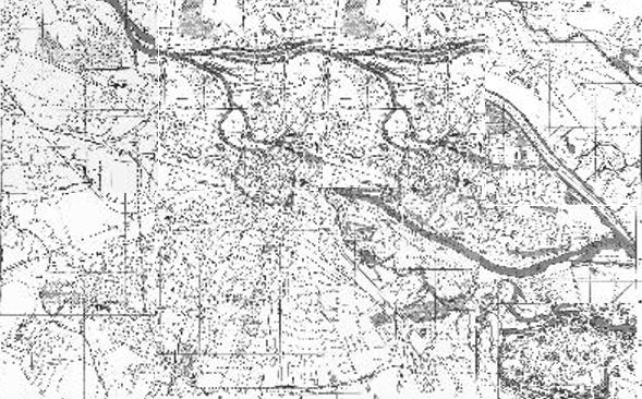
| This is a clickable,
German map of Wroclaw. The thumbnails are arranged in such a way
that together they form the complete city. Click on any of the
thumbnails to see a larger view.
The map is interesting in that it is the last known
representation of how Breslau looked just before its destruction
at the end of the war. The printed version was dated 1938. Note
that some of the names betray the presence of Nazism: Hermann
Goering Sportfeld, Strasse der SA, and - of course - Adolf Hitler
Strasse. |
|
Niemiecki plan Wrocławia. Poszczególne fragmenty zostały ułożone tak, że w sumie tworzą całą mapę. Kliknięcie myszą na wybrany
fragment mapy pokaże znacznie większy skan.
Plan jest interesujący,
gdyż pokazuje przedwojenny Wrocław
po raz ostatni przed katastrofalnymi zniszczeniami pod koniec II wojny światowej.
Mapa pochodzi z 1938 roku. Niektóre nazwy ulic zdradzają wpływy nazistowskie: Hermann
Goering Sportfeld, Strasse der SA, oraz - ma się rozumieć - Adolf Hitler
Strasse.
|